| Valley Boulevard | |
|---|---|
| West end: | Griffin Avenue in Downtown Los Angeles |
| Major junctions: |
I-710 in Monterey Park I-605 in El Monte SR 71 in Pomona I-10 in Ontario |
| East end: | Sperry Drive in Colton |
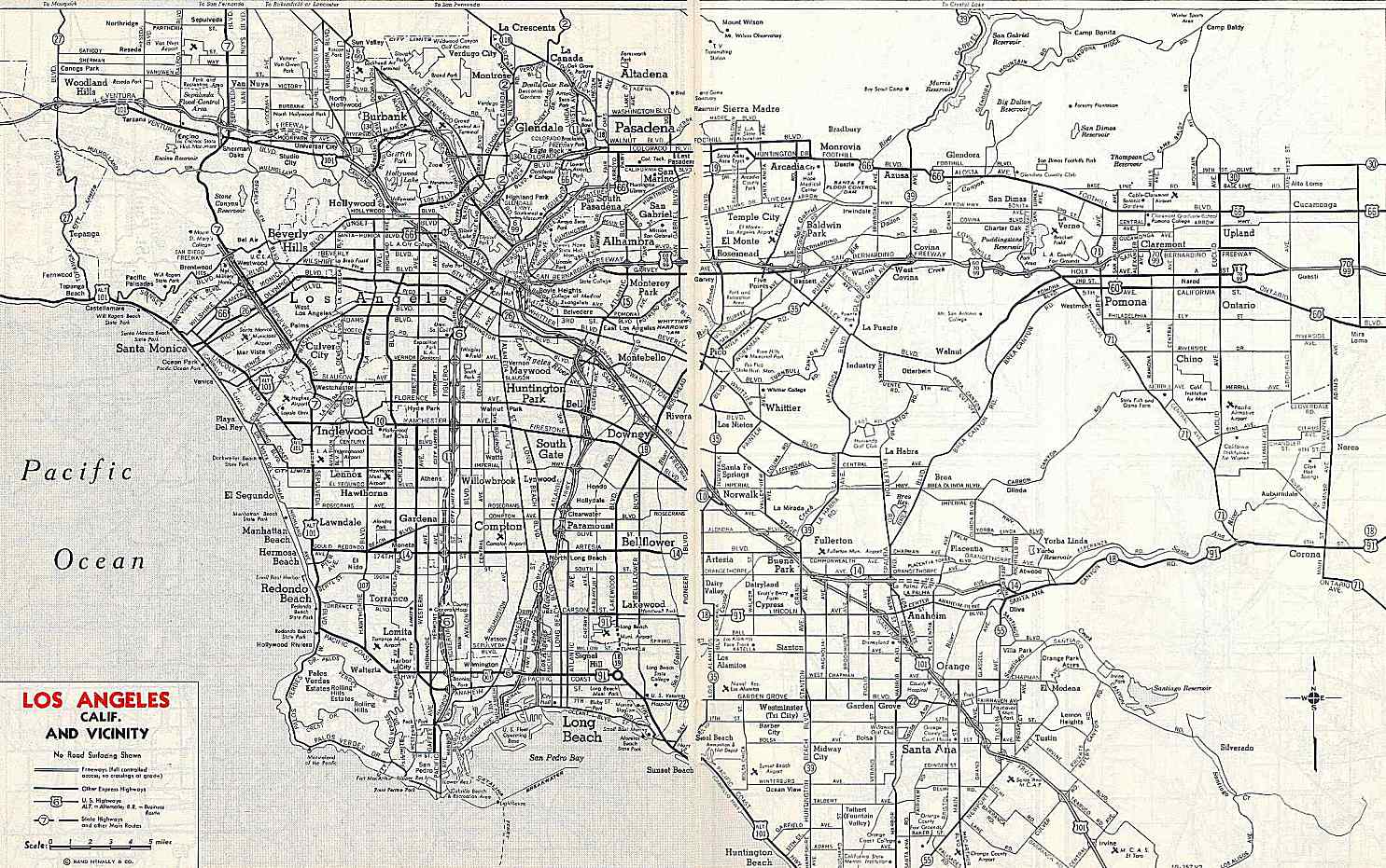
Valley Boulevard is a street in Southern California, running east from Los Angeles to Pomona, where it becomes Holt Boulevard, and a continuation from Fontana to Colton. It generally parallels Interstate 10 and State Route 60, and is the original alignment of U.S. Route 60. The present north end of Interstate 710 is at Valley Boulevard in Los Angeles, just west of Alhambra.
Contents |
The road begins northeast of downtown Los Angeles at the intersection of North Main Street and North Mission Road, passing through the University Hills district at the northernmost edge of the Cal State LA campus and then through Alhambra. It ends at the interchange with State Route 71 in Pomona, continuing east through Pomona as Holt Avenue and entering Montclair as Holt Boulevard.
After Holt Boulevard passes through Ontario, it merges with Interstate 10; a few miles eastward from there, another piece of Valley Boulevard splits from I-10 in Fontana, running through Rialto to I-10 in eastern Colton. When the old alignment next splits, in San Bernardino, it is known as Redlands Boulevard.
Several old alignments are present:
The road was once known as Main Street between El Monte and La Puente and Pomona Boulevard between La Puente and Pomona. Main Street became Valley Boulevard between 1933 and 1942, and Pomona Boulevard was renamed (except for the old section in Pomona) by 1959.[1][2][3]
When U.S. Route 60 was first extended to Los Angeles ca. 1932, it ran along Valley Boulevard. The new alignment (Ramona Boulevard and Garvey Avenue, now partly the San Bernardino Freeway) was built ca. 1934, taking US 60 off Valley Boulevard.[1] Pre-1964 Legislative Route 77 was defined in 1931 to run from downtown Los Angeles to Pomona along Valley Boulevard, and then to continue east to Riverside and south to San Diego.[4] The part from the east city limit of Los Angeles (just east of the north end of State Route 7, now Interstate 710) to Interstate 10 in El Monte was assigned the State Route 212 number in the 1964 renumbering, and in 1965 it was removed from the state highway system.[5]
Bus service from Downtown Los Angeles to El Monte is served by Metro Local line 76. Bus service east of El Monte is served by Metro Local line 194.
| County | Location | Mile | Destinations | Notes |
|---|---|---|---|---|
| Los Angeles | Los Angeles | Soto Street | ||
| East Los Angeles | Huntington Drive | |||
| Alhambra, California | I-710 south (Long Beach Freeway) to I-10 – Long Beach | Interchange | ||
| Rosemead, El Monte | SR 19 (Rosemead Boulevard) | Former SR 164 | ||
| El Monte | I-10 (San Bernardino Freeway) – Los Angeles, San Bernardino | Interchange | ||
| I-605 (San Gabriel River Freeway) | Interchange | |||
| City of Industry, West Covina | Glendora Avenue | Former SR 39 | ||
| CR N8 (Azusa Avenue) | Former SR 39 | |||
| Diamond Bar | Grand Avenue | |||
| Pomona | SR 71 (Chino Valley Freeway, I-10 Bus. west) – Los Angeles, Pasadena, Corona | Interchange; west end of I-10 Bus. overlap; Valley Boulevard becomes Holt Avenue and Holt Boulevard | ||
| San Bernardino | Ontario | SR 83 (Euclid Avenue) | ||
| I-10 west (San Bernardino Freeway) – Los Angeles | Interchange; west end of I-10 overlap; westbound exit and eastbound entrance | |||
| See Interstate 10 (exits 55A to 59) | ||||
| I-10 east (San Bernardino Freeway) – San Bernardino | Interchange; east end of I-10 overlap; eastbound exit and westbound entrance | |||
| Colton | I-10 (San Bernardino Freeway) to I-215 / Mt. Vernon Avenue – Los Angeles, Redlands, Indio | Interchange; east end of I-10 Bus. overlap | ||
| Sperry Drive | ||||